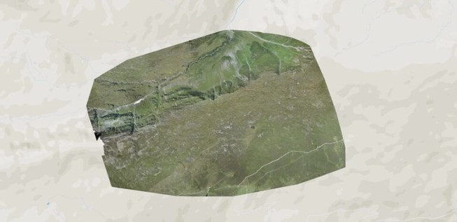
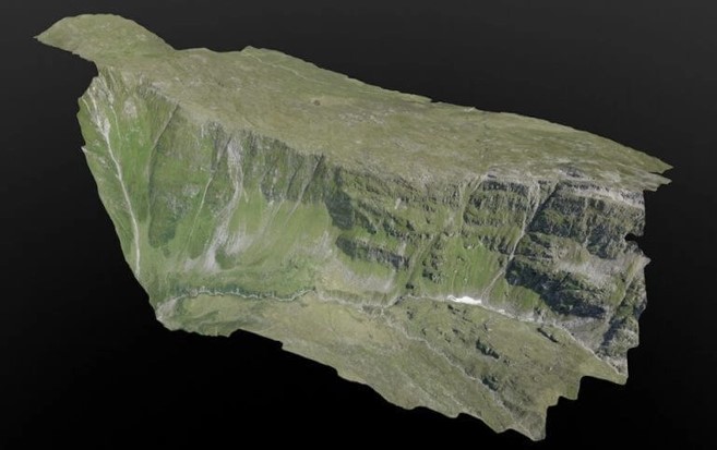

These drones are able to provide the areas they have mapped with depth coordinates. These depth coordinates are very important for urban planning and excavation. These depth data are also very important for road construction.
I2R Labs,
LISTEN: We listen to customer and provide the best.
SOLVE: With superb R&D base, we are able to design.
HELP: With our product, it help to reduce overall operational cost, enhance efficiencies and provide service auditing.
© 2026 i2rlabs. All rights reserved
I2R Labs,
LISTEN: We listen to customer and provide the best.
SOLVE: With superb R&D base, we are able to design.
HELP: With our product, it help to reduce overall operational cost, enhance efficiencies and provide service auditing.
Comments are closed.