Agriculture
Plant counting
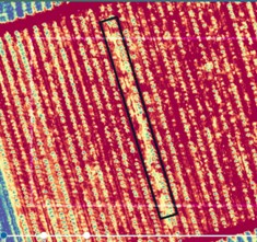
Plant counting Multispectral sensors capture information that allows for more than just plant classification. This imagery can also feed algorithms information for plant detection and


Plant counting Multispectral sensors capture information that allows for more than just plant classification. This imagery can also feed algorithms information for plant detection and
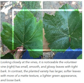
Plant classification and species differentiation Manual classification of fruit trees or other plants can be time-consuming and cost intensive. In contrast, drone-based multispectral sensors capture
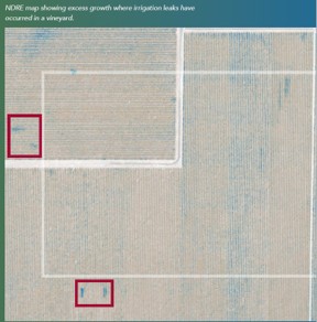
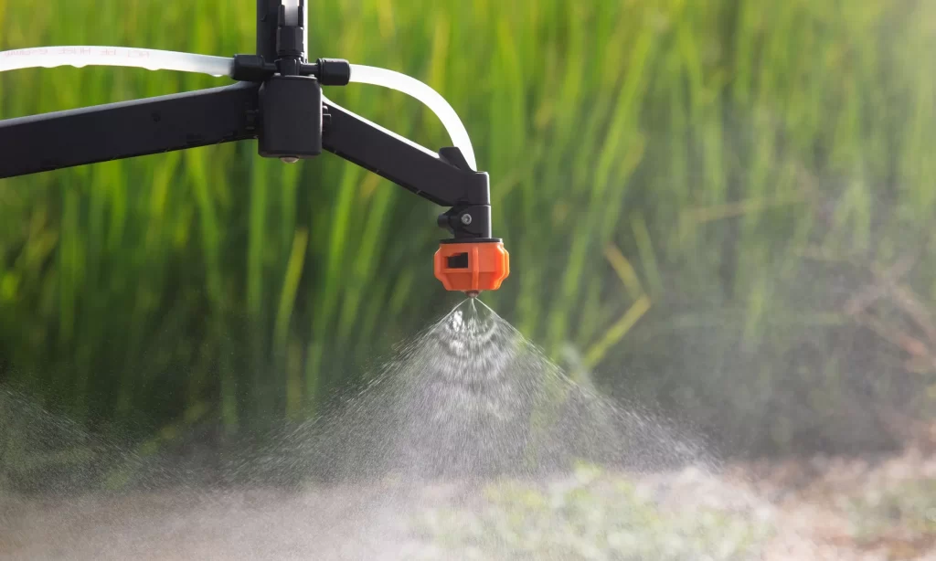
Irrigation & water management Water is an important yet scarce resource in agriculture. In regions where the levels of precipitation are too low to guarantee
Disease detection Multispectral sensors can highlight small changes in the health of crops. This is because multispectral imagery captures a critical part of the light
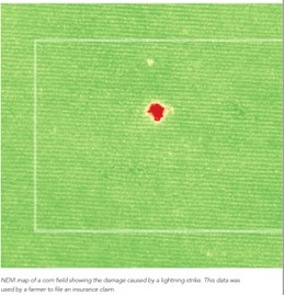
Insurance Agriculture can have major risks associated, such as drought, natural disasters, and pests. Farmers are heavily dependent on nature and weather conditions. For example,
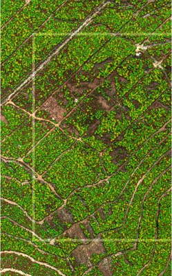
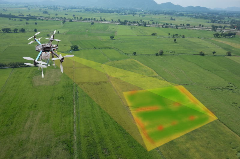
Vegetation health mapping Not all problems are visible to the naked eye – especially during the early stages of a pest infestation, disease onset, or
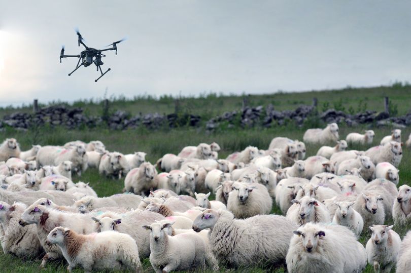
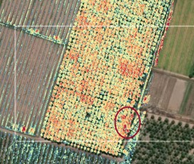
Weed Detection Efficient control of weeds in a farming operation is critical. Weeds can harbor pests, use valuable nutrients, and serve as hosts for diseases

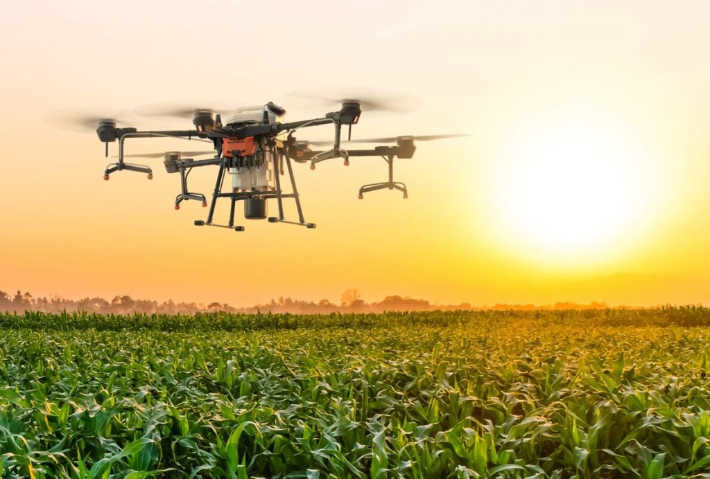
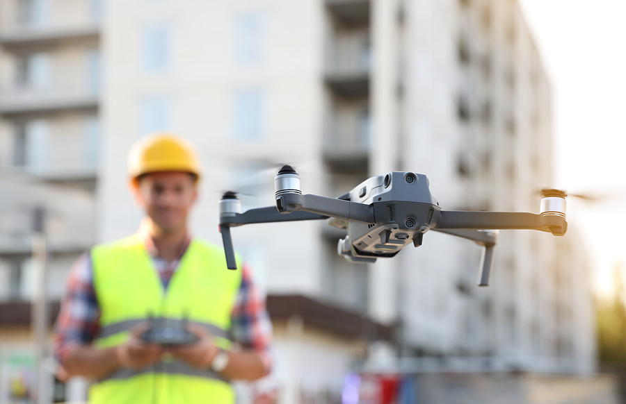
Agriculture Agricultural drones provide growers, service providers, and ag researchers a fast and efficient way to scout their crops, identify stress, create treatment plans, track

Multispectral Camera Drone We at i2r labs have developed in house multispectral camera which can be mounted to our drones. Using this camera, you can
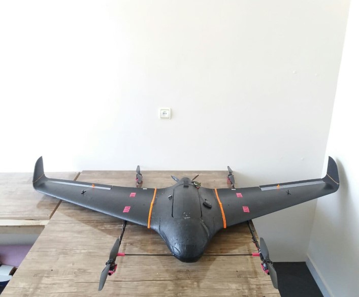
VTOL VTOL – VTOL (Vertical Takeoff and Landing) drones represent a blended approach, combining elements from both quadcopter and fixed-wing designs. They take off and